Under the Electoral Boundaries and Representation Act, the legal descriptions and names for each electoral district are set out in regulation.
PLEASE NOTE: The information contained herein is current as of June 1, 2018.
Under the Electoral Boundaries and Representation Act, the legal descriptions and names for each electoral district are set out in regulation.
PLEASE NOTE: The information contained herein is current as of June 1, 2018.
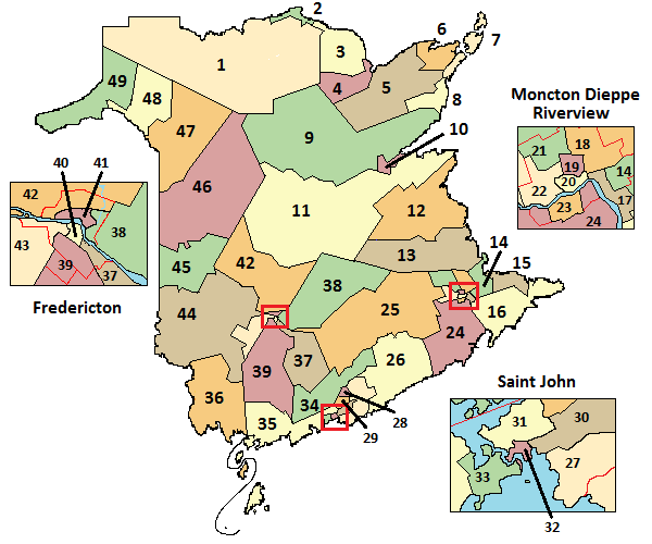
The files for the maps of each electoral district are large for the benefit of those who wish to download the maps for printing.
Polling division maps for each electoral district are provided below and available in a format ready for printing on a standard home office printer.
To view an index of the streets located within each electoral district, click on the link below.
Internet Explorer users:
To download, right click and choose “save target as”.
Disclaimer: Electronic versions of documents published by Elections NB are unofficial versions and are provided for convenience of reference only. Every effort is made to ensure that they contain the same information as the printed documents, but due to changes in formatting or other procedures they may not in all cases be entirely consistent with the published, printed, version. In case of any inconsistency between the published paper version and the version on this website, the published paper version will be considered correct.
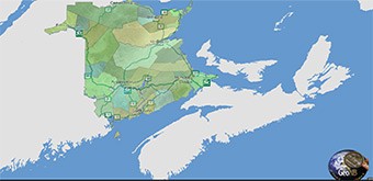
Note: To view a digital interactive version of the electoral map click on the above link.
The viewer allows you to zoom in and out on the electoral districts using your mouse or the + and – symbols on the screen.
You can determine the location of a specific address by entering the civic number, street name of the community in the search bar located at the top right-hand corner of the screen.